A Journey Through Time: Unveiling the Native American Tribes Map of 1700
A Journey Through Time: Unveiling the Native American Tribes Map of 1700

The year 1700 marks a pivotal moment in the history of North America. European colonization was steadily expanding, pushing westward and reshaping the landscape of the continent. At the heart of this transformation lay the intricate tapestry of Native American tribes, each with its own unique culture, language, and territory. A map from 1700, if it existed, would offer a glimpse into this vibrant and diverse world on the cusp of immense change.
The Shifting Sands of Time: Understanding the Challenges of a 1700 Map
Related Articles: A Journey Through Time: Unveiling the Native American Tribes Map of 1700
- Unveiling the Enigma of the Sioux: Native American Heritage and Resilience
- Unveiling The Tapestry Of Indigenous Nations: A Guide To North American Native Tribes Map Posters
- Miami: Where Sun-kissed Beaches Meet Vibrant Culture
- **Discover the Enchanting Tapestry of Native American Symbols and Their Mystical Meanings**
- Native American Trickster: The Spirit of Laughter and Wisdom
While a detailed, accurate map of all Native American tribes in 1700 may not exist, it’s essential to understand why. The complexities of the era make such a map a daunting task:
- Limited European Knowledge: European cartographers of the time had a fragmented understanding of the vast North American continent. Their knowledge was often based on limited interactions with coastal tribes and hearsay, leading to inaccuracies and gaps in information.
- Fluid Tribal Boundaries: Native American tribes were not static entities with fixed borders. Their territories shifted over time due to factors like migration, alliances, and conflicts. The concept of "tribal boundaries" as we understand them today was not always applicable in the 1700s.
- Lack of Standardized Names: European cartographers often used inconsistent and sometimes derogatory names for Native American tribes, making it difficult to identify and map them accurately.
Glimmers of Insight: Existing Resources and Their Limitations
Despite the challenges, we can still glean valuable insights into the Native American world of 1700 through existing historical resources:

- Early European Maps: Maps created by European explorers and colonists, while often inaccurate, provide some clues about the locations and names of certain tribes. These maps, however, are not comprehensive and should be interpreted with caution.
- Ethnographic Records: Early European travelers, missionaries, and traders documented their encounters with Native American tribes, providing valuable information about their customs, languages, and territories. These records, however, often reflect a Eurocentric perspective and may contain biases.
- Archaeological Evidence: Archaeological excavations offer a more objective understanding of Native American settlements and their distribution across the continent. However, these studies are time-consuming and often limited to specific regions.

Imagining the 1700 Map: A Mosaic of Tribal Diversity
While a definitive map of all Native American tribes in 1700 is impossible to reconstruct, we can use these fragmented resources to imagine what such a map might look like. It would be a mosaic of diverse cultures, each with its own story to tell:
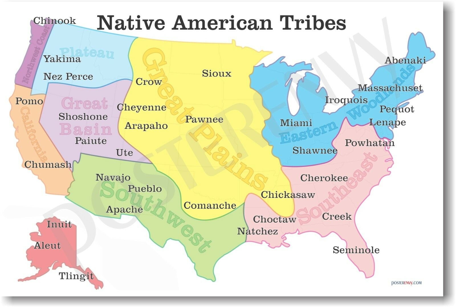
- The Eastern Woodlands: From the Great Lakes to the Atlantic coast, tribes like the Iroquois, Algonquin, and Cherokee thrived in a rich forest environment. They were skilled hunters, farmers, and artisans, and their societies were often organized into complex alliances and confederacies.
- The Great Plains: The vast grasslands of the Great Plains were home to nomadic tribes like the Lakota, Cheyenne, and Comanche, who were renowned for their horsemanship and buffalo hunting skills. Their lives were intricately tied to the movement of the buffalo herds, and they developed unique social and religious traditions.
- The Southwest: In the arid Southwest, tribes like the Navajo, Hopi, and Apache adapted to a challenging environment. They developed sophisticated agricultural systems, built intricate dwellings, and practiced a rich spiritual tradition that connected them to the land.
- The Pacific Northwest: The Pacific Northwest was home to tribes like the Chinook, Salish, and Tlingit, who thrived on the abundance of the sea and forests. They were known for their complex social structures, intricate art forms, and large communal houses.
The Legacy of the 1700 Map: A Call for Understanding and Respect
The Native American tribes map of 1700 is more than just a geographical representation. It symbolizes the resilience and diversity of indigenous cultures that have thrived for millennia. It also serves as a reminder of the profound impact of European colonization on Native American communities.
The map, though incomplete, can serve as a starting point for understanding the complex history of Native Americans in North America. By acknowledging the limitations of existing resources and recognizing the diverse perspectives of indigenous peoples, we can strive to create a more accurate and respectful representation of their history.
A Call to Action: Engaging with Native American Histories and Cultures
The story of Native American tribes in 1700 is not just a historical artifact. It is a living legacy that continues to shape the present. We can honor this legacy by:
- Learning from Indigenous Voices: Seek out resources created by Native American authors, scholars, and artists to gain a deeper understanding of their perspectives and experiences.
- Supporting Indigenous Communities: Engage with local Native American communities and organizations to learn about their contemporary challenges and support their efforts to preserve their cultures and traditions.
- Challenging Stereotypes: Recognize and challenge harmful stereotypes about Native Americans that perpetuate inaccurate representations of their history and cultures.
The Native American tribes map of 1700, though incomplete, serves as a powerful reminder of the richness and resilience of indigenous cultures. By engaging with their history and perspectives, we can build a more inclusive and respectful future for all.
FAQs: Native American Tribes Map 1700
Q: Are there any existing maps from 1700 that show Native American tribes?
A: While there are maps from the 1700s, they are often incomplete and inaccurate, especially regarding Native American territories. European cartographers had limited knowledge of the interior of the continent and often relied on hearsay and biased accounts.
Q: How can I learn more about specific Native American tribes from the 1700s?
A: You can consult historical accounts written by early European explorers, missionaries, and traders. However, remember that these accounts are often biased and may not reflect the full picture. Additionally, you can research archaeological findings and ethnographic studies for a more objective understanding.
Q: What are some of the challenges in accurately mapping Native American tribes in the 1700s?
A: The challenges include the fluid nature of tribal boundaries, the lack of standardized names, and the limited knowledge of European cartographers. Native American tribes were constantly moving and adapting to changing circumstances, making it difficult to pinpoint their exact territories.
Q: How can I learn more about the contemporary lives of Native Americans?
A: You can connect with local Native American communities and organizations, support indigenous artists and scholars, and engage with resources created by Native Americans themselves.
Q: What is the importance of understanding Native American history in the 21st century?
A: Understanding Native American history helps us acknowledge the injustices they have faced, celebrate their resilience and cultural richness, and build a more inclusive and equitable future for all.
Closure
Thus, we hope this article has provided valuable insights into A Journey Through Time: Unveiling the Native American Tribes Map of 1700. We thank you for taking the time to read this article. See you in our next article!